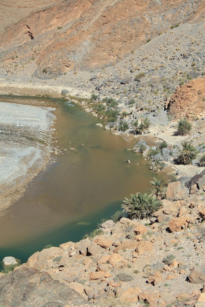
Up Ron & Marjolijn's holiday pictures » 2010-10 Marokko » 09-Erfoud Prev Next Slideshow

 Previous image  Next image  Index page  Original Image [06-Valley of the Ziz.jpg - 1.1MB]


01-The village Rich in front of the High Atlas
02-Gate to the market
03-Local transport
04-Valley of the Ziz
05-A palmeraie (date palm orchard) in the valley of the Ziz
05-Valley of the Ziz
06-A palmeraiein the valley of the Ziz
  06-Valley of the Ziz.jpg - Valley of the Ziz  
07-Valley of the Ziz
10-A date palm orchard in the valley of the Ziz
11-Marjolijn on the camel
12-The shadow of our camels
13-Sunset in Erg Chebbi
14-A very big tajine with good food
15-Berber music in Erg Chebbi
16-Sunrise in Erg Chebbi
17-Something manege to grow in the dunes
18-Our group in the sunrise


Valley of the Ziz Download Original Image
Latitude: N 32°10'13,87" | Longitude: W 4°22'6,19" | Altitude: 1241 metres | Location: Issafene | State/Province: Meknès-Tafilalet | Country: Marokko | Copyright: Ron Harkink | See map
Total images: 18 | Help